Navagio Beach facts at a glance
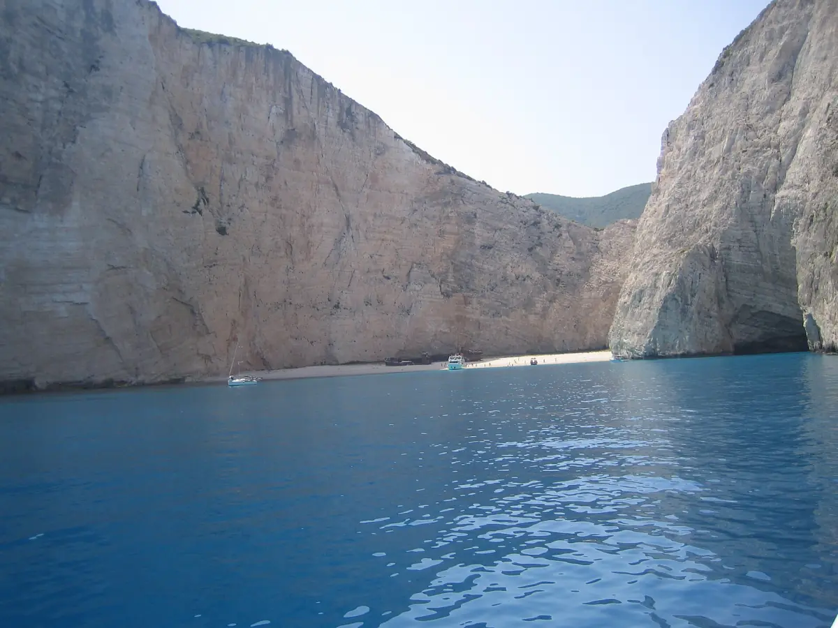
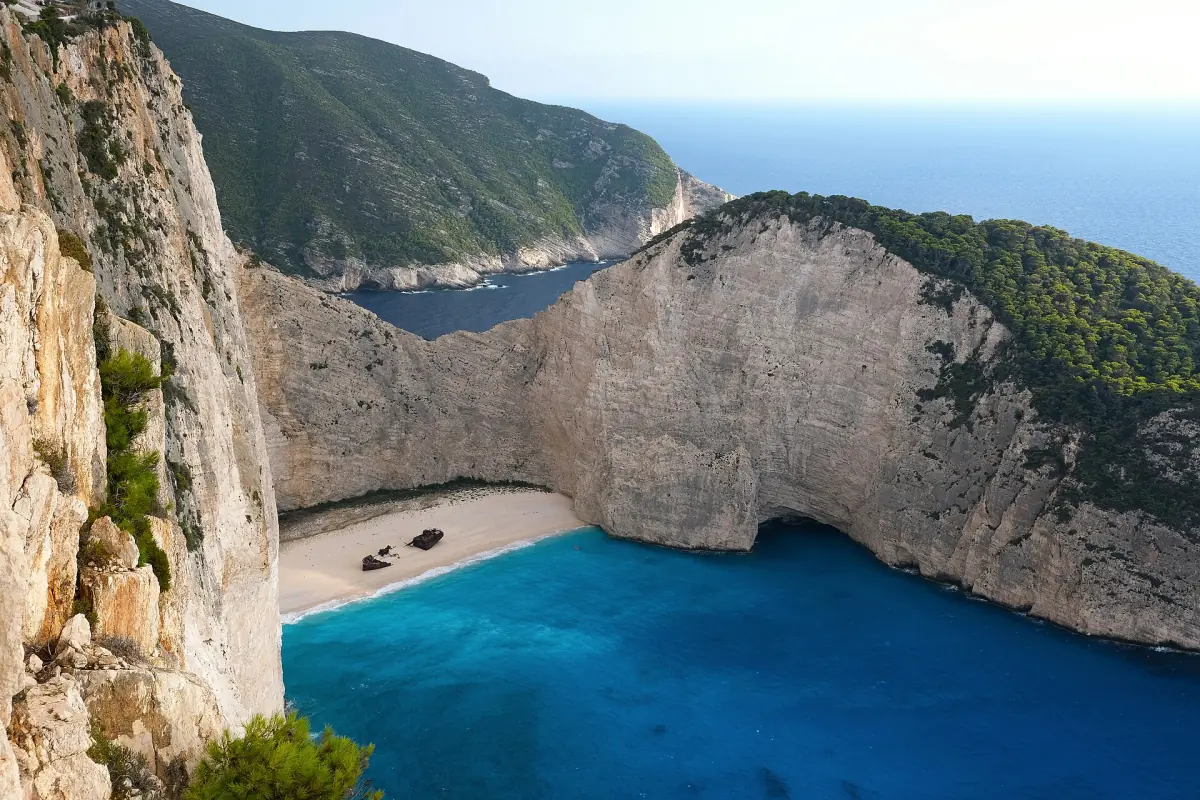
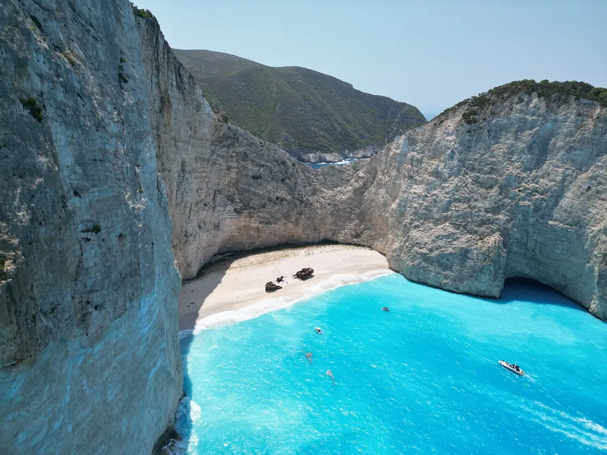
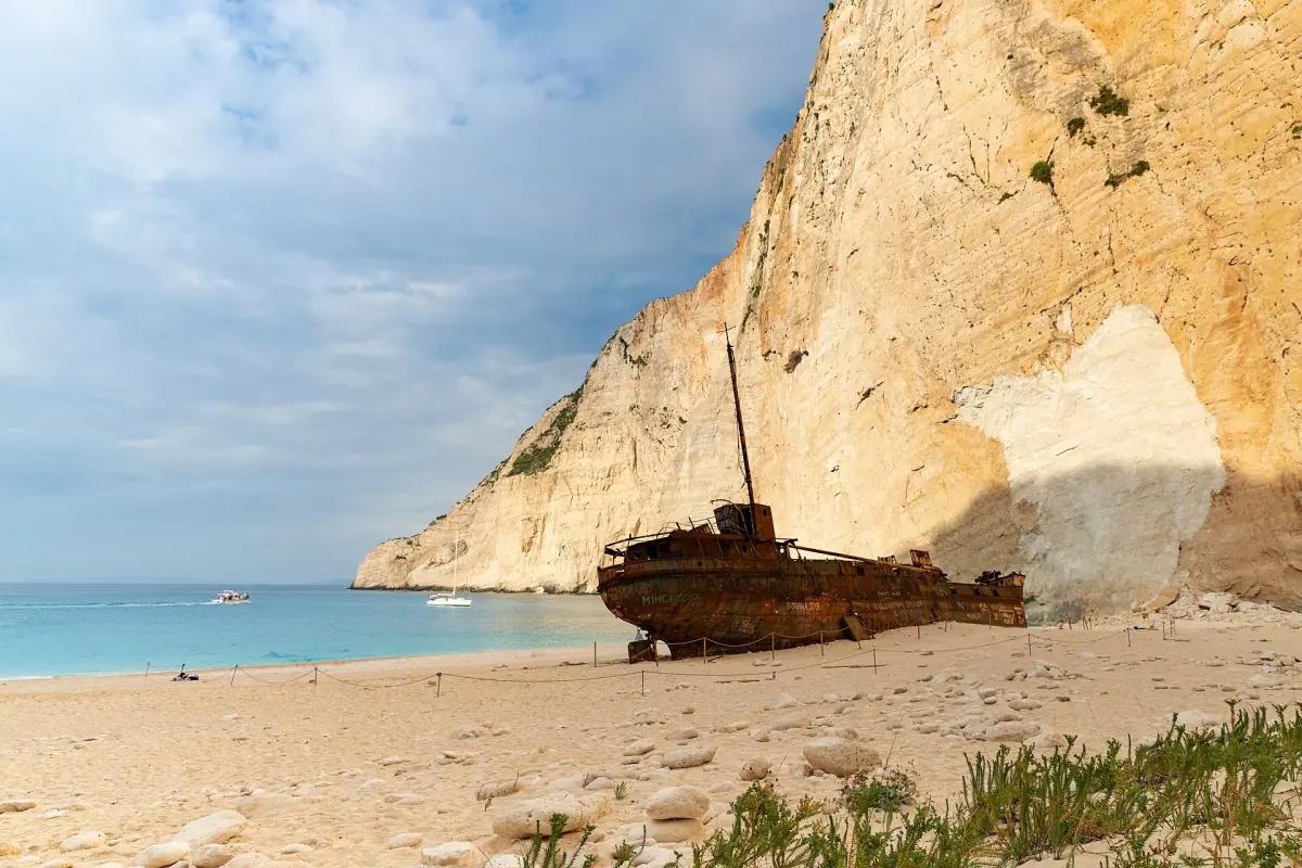
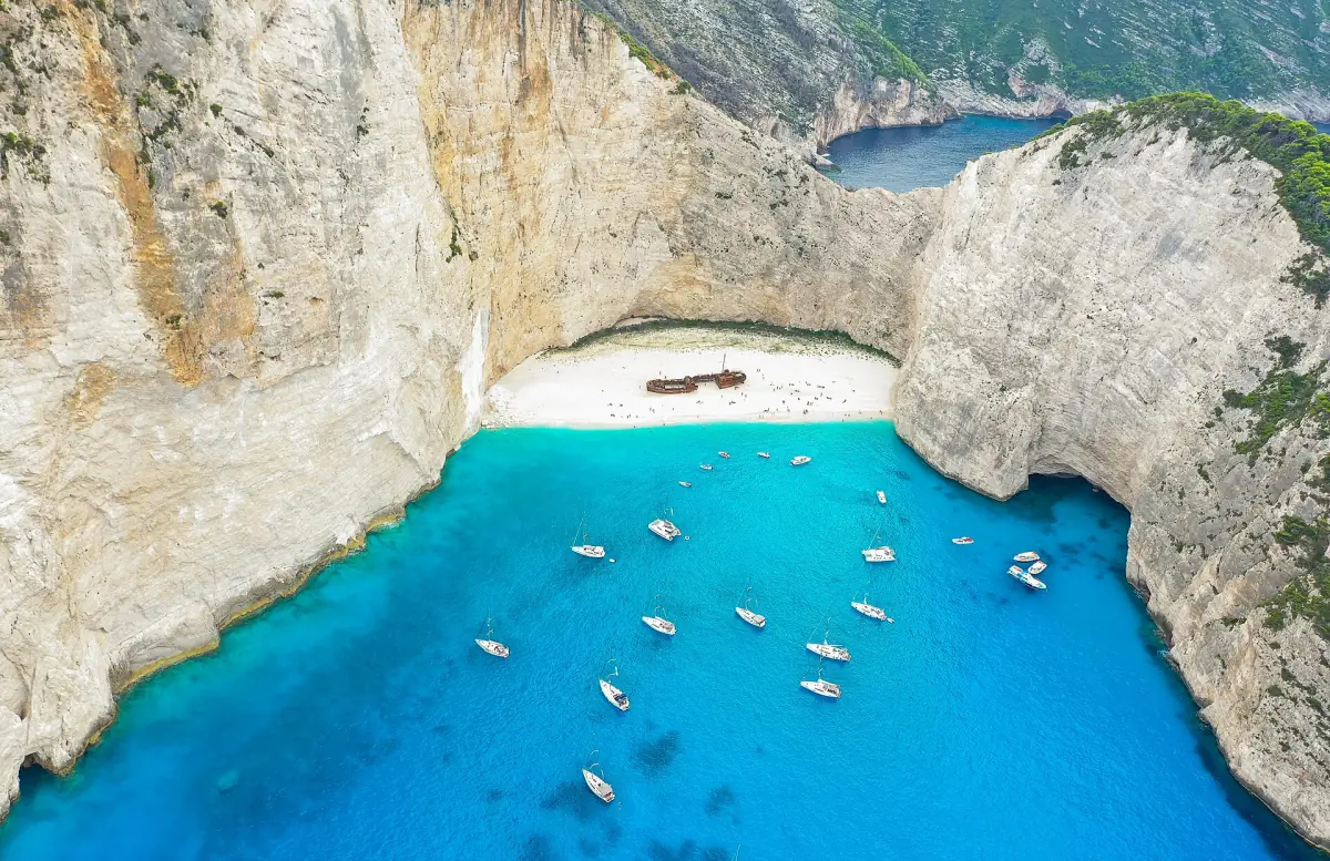
Navagio lies on the north-west coast of Zakynthos in the Ionian Sea. The bay is enclosed by tall light-colored rock walls. On the pebbles lies the wreck of the Panagiotis, and the water looks turquoise against the white stones. It is one of the most widely photographed motifs on Zakynthos.
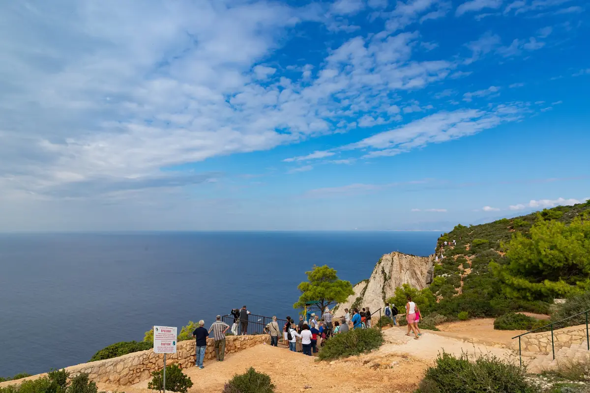
Seeing it is a matter of access. The beach is reached by boat, and the 2026 rules allow only a view from a boat in a defined sea zone or from the platform above, once the protective works are done. Landing and swimming in the bay are not allowed. If you want to compare trips, see our page on Zakynthos boat tours.
The short list
Facts for 2026, grouped by topic.
| Topic | What to know |
|---|---|
| Location | North-west coast of Zakynthos, Ionian Sea |
| Names | Navagio (Greek for shipwreck), Shipwreck Beach, older name Agios Georgios, linked to the place name Ormos Spyrli |
| Wreck | The Panagiotis, stranded in 1980 or 1983 |
| Cliff height | About 200 to 246 m, depending on where it is measured |
| Access | By sea. No landing and no swimming in the bay |
| Boats | Entry in the north, exit in the south, up to 20 minutes, at most 15 boats at once |
| Rockfall | A rockfall on 13 September 2018 led to an evacuation of the beach |
| Beach protection | A gravel extension of 30 m seaward was presented in July 2026 as a plan |
Our pick: the cliffs up close
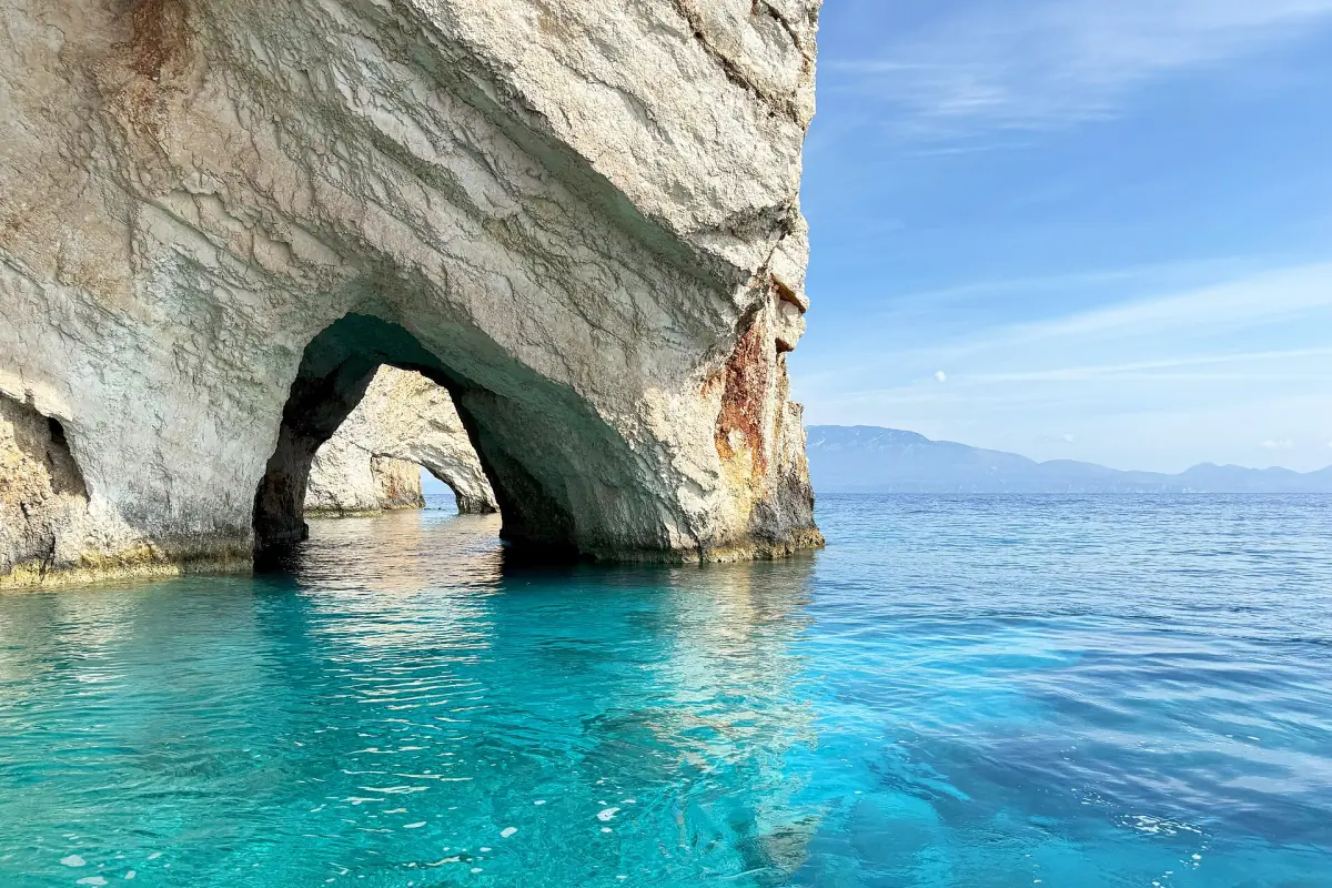
This west coast cruise has Navagio bay on its route below the cliffs.
Hand-picked tours, booked through GetYourGuide. Prices are indicative starting prices in euros (as of October 2026). Tap a tour for live availability and the current price in your currency.
Navagio boat tours and island trips
Cruises and island trips that pass the bay, with live prices and availability.
Cliffs, water and the bay
The rock walls are the first thing you notice from a boat. They rise steeply above the pebbles, and the water below them looks turquoise against the white stones.
Heights vary: the cliff measures about 200 to 246 m, depending on the measuring point. Treat any single height as an order of magnitude, and be careful with exact numbers for the length of the bay or the daily number of visitors.
Rules and numbers for the 2026 season
The sea zone is set by the harbour authority.
Entry and exit
Boats enter the defined zone in the north and leave it in the south. The stay is limited to 20 minutes and the markers of the zone must be followed. The skipper decides on weather and swell.
Boat numbers
At most 15 boats can be in the zone at the same time. Until 15:30, 10 places are for tourist passenger and charter boats and 5 for other vessels. After 15:30 there is no split by category.
Hours
From 15 June to 15 September 2026 the zone is open from 08:00 to 21:00. From 16 September to 31 October 2026 it is open from 08:00 to 19:00.
Winter
From 1 November 2026 until a new joint ministerial decision, ordinary boat traffic, approach, anchoring and bathing inside the bay are prohibited. Emergencies and certain official checks are exempt. See whether Navagio is open.
Erosion and the future of the wreck
The wreck rusts, and the shore around it is eroding. In July 2026 a project was presented to extend the beach with gravel by 30 meters seaward. It is a plan, not a finished work. What to carry with you is the plan and the risk: the view may change over the years.
The ground at the cliff edge is unstable. The viewing platform is usable only after fencing and protective works, and visitors should stay inside the areas that are open. For the story of the ship, read about the Navagio shipwreck.
Keep reading
More guides for planning a Navagio trip.
Navagio Beach facts: frequently asked questions
How high are the cliffs at Navagio?
About 200 to 246 m, depending on where it is measured. Treat any single number as a rough order of magnitude.
What does Navagio mean?
The Greek word navagio means shipwreck. The bay is also called Shipwreck Beach and was once known as Agios Georgios.
Why is the water so turquoise?
The bay is surrounded by light rock walls, and the water over the white stones looks turquoise. It is a color you see, not a measured value.
Is Navagio the most photographed beach in the world?
It is a widely photographed motif on Zakynthos. No ranking against other beaches is claimed here.
Can I swim at Navagio?
No. Swimming in the bay is not allowed, and neither is landing on the beach. Swim stops on a boat tour take place elsewhere on the route.
Is navagio.org the official website of Navagio?
No. This is an independent travel guide with no link to the municipality of Zakynthos, a ministry or a tour operator.